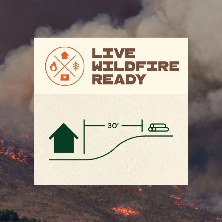
Live Wildfire Ready is a statewide collaborative effort that shares simple, practical, low-cost actions residents can take to prepare their homes and property for wildfire. In addition to preparing one’s home, living wildfire-ready means being ready to evacuate during a fire. Inside, you’ll find great info on how to:
Provides homeowners in Eagle County with an opportunity to take action on their property.
The program provides:
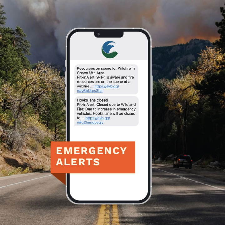
Our counties’ Public Safety agencies have all enabled Everbridge, a text message emergency notification system that provides essential information quickly in a variety of situations, such as fires, severe weather, floods, unexpected road closures, or evacuation of buildings or neighborhoods. This is one of the best and fastest ways to stay informed of potentially dangerous events in your area.
Tip – after signing up, you can go back into your account and edit your subscriptions based on alert type and area.
Make sure we have the right contact info for you, too. You can add and edit your contact information in SmartHub or give us a call at 970.945.5491 and we’ll happily update it for you.
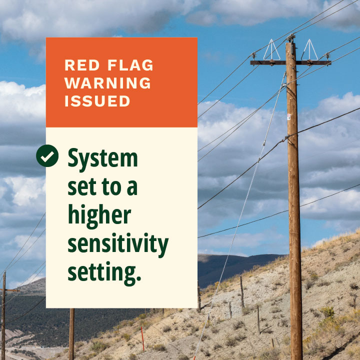
When the National Weather Service issues a “Red Flag Warning” anywhere in our service territory, we modify our system operations to reduce the chance of an electrical fire in that part of our territory. Also known as “fast tripping”, this more sensitive setting will cut power at line relays faster than normal settings.
These higher sensitivity settings decrease the risk of wildfire ignition in the event a tree or debris falls on the power line.
These more sensitive settings are in place for the safety of our members and communities, but they also increase the potential for members to experience short “blinks” in their power. We greatly appreciate your patience and understanding on these high-risk days.

We’ve recently implemented several new technologies to help minimize the possibility that the electric system will ignite a fire. These line inspection tools help us be more efficient and proactive in our inspection and maintenance programs.
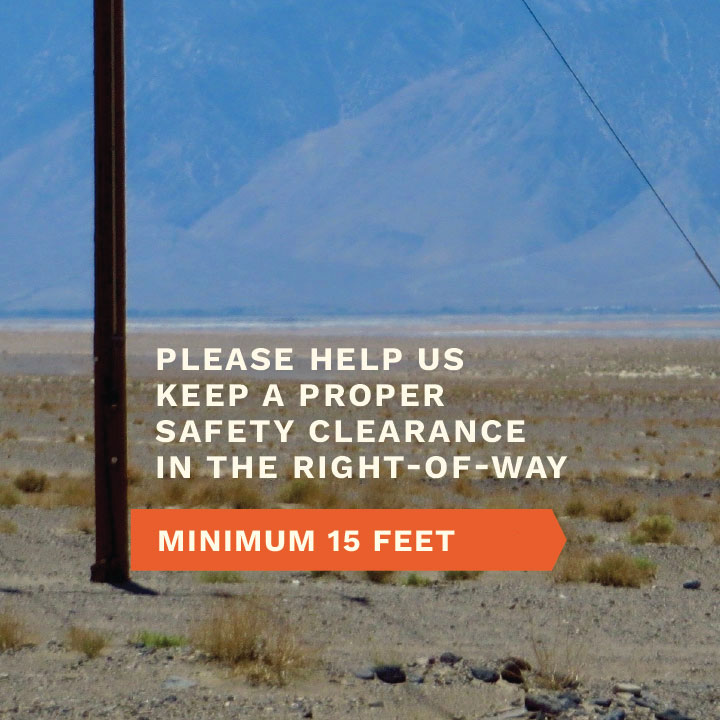
Fire in the path of a power line can keep entire communities without power for extended periods of time. We greatly appreciate our members’ help in keeping our right-of-ways clear of all vegetation and flammable debris (including stacks of firewood).
Thursday, September 12, 2024
The National Weather Service has issued a Red Flag Warning in the Holy Cross Energy service territory (Garfield County) for Thursday, September 12, from noon until 8:00 p.m. During Red Flag Warnings, we modify our system operations to reduce the chance of an electrical fire. These more sensitive settings are implemented for the safety of our members and communities, but they also increase the potential for members to experience short power “blinks” or outages.
Additionally, Xcel Energy transmission lines that feed our distribution grid will be under safety protocols that may temporarily shut off power entirely to parts of our grid. To learn more about Xcel Energy’s outage safety program, please click here.
Thank you for your patience and understanding as we take steps to reduce the risk of wildfires to keep our communities safe.